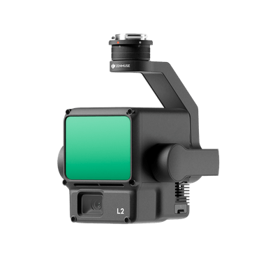
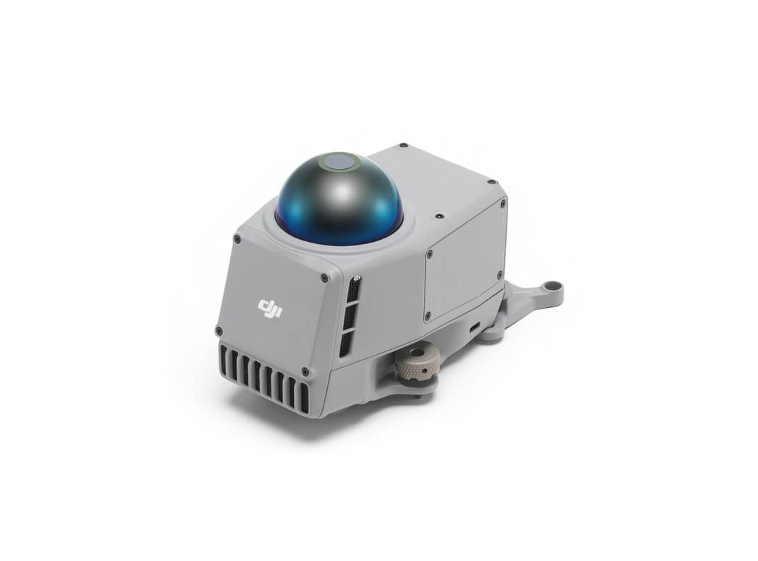
The DJI Zenmuse L2 LiDAR is DJI’s next-generation integrated LiDAR solution built to deliver highly accurate, efficient, and scalable aerial geospatial data acquisition. It combines three core systems into one unified payload: a frame-based LiDAR sensor, a self-developed high-precision IMU, and a 4/3 CMOS 20MP RGB mapping camera. This integrated design allows operators to capture detailed 3D point cloud data and high-quality imagery simultaneously, significantly improving workflow efficiency for professional mapping missions.
The L2 delivers impressive measurement performance, including vertical accuracy of approximately 4 cm and horizontal accuracy of around 5 cm under optimal conditions, enabling survey-grade outputs suitable for engineering and infrastructure applications. It supports long-range detection capabilities up to about 450 meters (depending on target reflectivity and lighting conditions), making it effective for large-area mapping and corridor surveys.
With a high pulse emission rate and support for multiple returns (up to 5), the Zenmuse L2 is capable of penetrating vegetation more effectively than earlier systems, improving ground model reconstruction in forested or obstructed environments. This makes it particularly valuable for forestry management, terrain modeling, utility corridor inspection, and environmental monitoring where canopy penetration is critical.
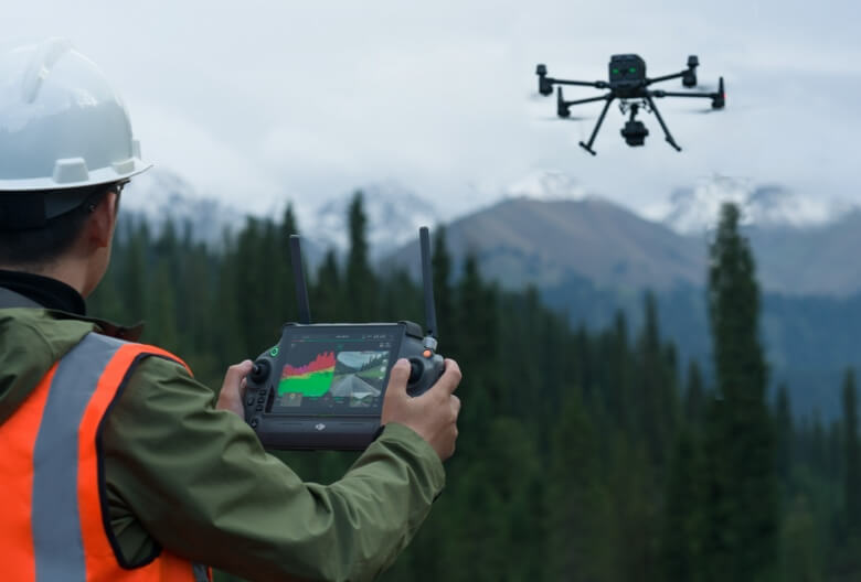
When paired with DJI enterprise drones and DJI Terra software, the L2 forms a streamlined end-to-end workflow for mission planning, data acquisition, and post-processing. The system supports automated point cloud generation, classification, and 3D model reconstruction, allowing users to go from flight to deliverable efficiently within a unified ecosystem.
Designed for rugged field use, the L2 features IP54-rated protection and stable operation across a wide temperature range, ensuring reliability in challenging environmental conditions. Its integrated IMU system also improves stability and reduces warm-up time compared to previous-generation LiDAR payloads, enhancing operational efficiency in time-sensitive missions.
The SP service plan options define the level of enterprise protection included with the payload. The SP plan provides baseline DJI Care Enterprise coverage for accidental damage protection and repair support. The SP 2Y plan extends coverage to two years, offering longer-term operational security and reduced lifecycle risk. The SP Plus plan delivers the highest tier of protection, including enhanced repair services, faster turnaround times, and expanded coverage designed for mission-critical and high-utilization fleets.