DJI Terra
$2,325.00 – $15,885.00Price range: $2,325.00 through $15,885.00
The DJI Terra License is an enterprise-grade photogrammetry and mapping software solution designed to transform raw aerial imagery and LiDAR data from DJI drones into high-precision digital assets. Supporting advanced processes like 3D Gaussian Splatting, 2D orthomosaics, 3D mesh modeling, and native LiDAR point cloud optimization, it enables centimeter-level data accuracy for mapping, surveying, and industrial inspection. Available with flexible annual subscription or perpetual license structures, it provides scalable, mission-critical processing power for localized and distributed enterprise workflows.
Description
The DJI Terra License is a comprehensive desktop mapping and photogrammetry software platform engineered to transform drone-captured data into highly accurate digital twins and geospatial deliverables. Acting as the software spine for enterprise aerial workflows, it allows surveyors, engineers, and public safety teams to ingest raw drone imagery and sensor data to output 2D maps and 3D reconstructions. It is optimized to support critical commercial operations, including infrastructure monitoring, construction progress tracking, land surveying, and disaster response management.
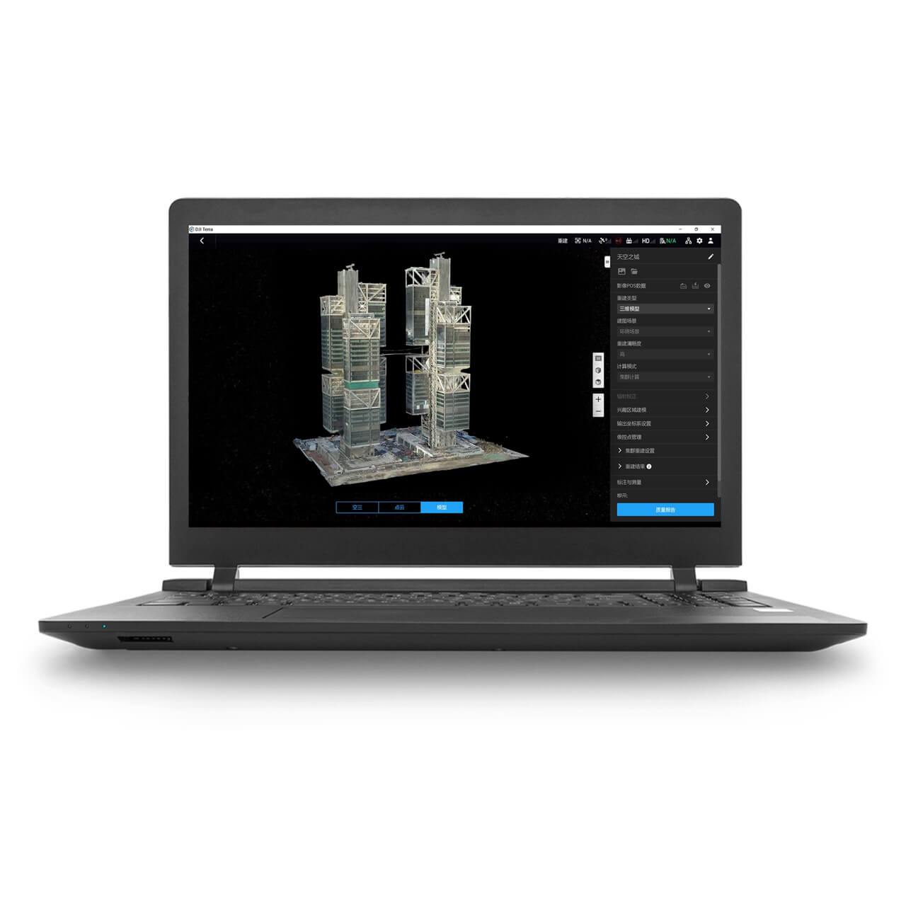
The software platform delivers versatile reconstruction capabilities, seamlessly integrating visible light photogrammetry, multispectral indices (like NDVI/NDRE), and LiDAR data processing into a unified pipeline. With native support for DJI enterprise ecosystems—including the Matrice series and Zenmuse L1/L2/L3 payloads—DJI Terra fuses point clouds and RGB imagery with a single click, providing trajectory computation and ground-point classification without requiring separate, third-party software. Built-in analytical tools further allow operators to perform accurate measurements of 2D/3D coordinates, distances, surface areas, and volumetric calculations directly within the system.
When paired with advanced flight planning, DJI Terra automates the data lifecycle by generating optimized waypoint, area, corridor, and oblique flight paths based on existing 3D models or user-defined corridors. The software leverages multi-GPU acceleration to process large datasets quickly, transforming thousands of high-resolution images into True Digital Orthophotos (TDOM) and digital surface models on-site or in the office. For massive, city-scale projects, it scales efficiently across distributed networks via cluster reconstruction nodes to dramatically accelerate processing turnarounds.
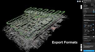
Built for seamless enterprise integration, DJI Terra exports data into standard industry formats—such as LAS, LAZ, TIFF, and PLY—ensuring frictionless compatibility with mainstream CAD, GIS, and digital twin environments. When combined with DJI Modify post-processing software, teams can easily smooth point clouds, remove noise, and mend 3D meshes to create flawlessly detailed models. This end-to-end reliability ensures organizations can produce survey-grade deliverables quickly, reducing operational downtime and keeping critical projects on schedule.
The specific license packages define the feature sets, activation modes, and terms of utilization for enterprise fleets. Options range from Standard and Education packages to the comprehensive Flagship edition, which includes advanced 3D Gaussian Splatting for photorealistic geometry. Organizations can choose between flexible 1-Year Subscriptions for temporary projects or Perpetual Licenses for permanent ownership, alongside Online or Offline authorization modes to accommodate strict corporate data-privacy and air-gapped network security protocols. Additionally, bundle DJI Modify with your purchase for a dedicated 3D model editing software that allows operators to easily repair topological errors, patch holes, smooth water surfaces, and remove unwanted artifacts from generated meshes.
Related products
-
 Software
DJI FlightHub 2
$575.00 – $15,435.00Price range: $575.00 through $15,435.00 Select options This product has multiple variants. The options may be chosen on the product page -