Maximize your operational efficiency and transform raw data into actionable spatial intelligence with the DJI Software Ecosystem. Engineered for seamless integration, this comprehensive suite of applications bridges the gap between field teams, remote commanders, and data analysts. From real-time flight control with DJI Pilot 2 and cloud-based fleet coordination on FlightHub 2, to high-precision 3D mapping in DJI Terra and seamless model editing with DJI Modify, these tools automate your entire data lifecycle. Elevate your workflows, ensure strict data compliance, and unlock survey-grade insights with powerful software built to handle the rigorous demands of enterprise missions.

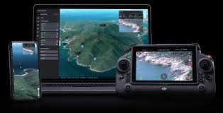 Software
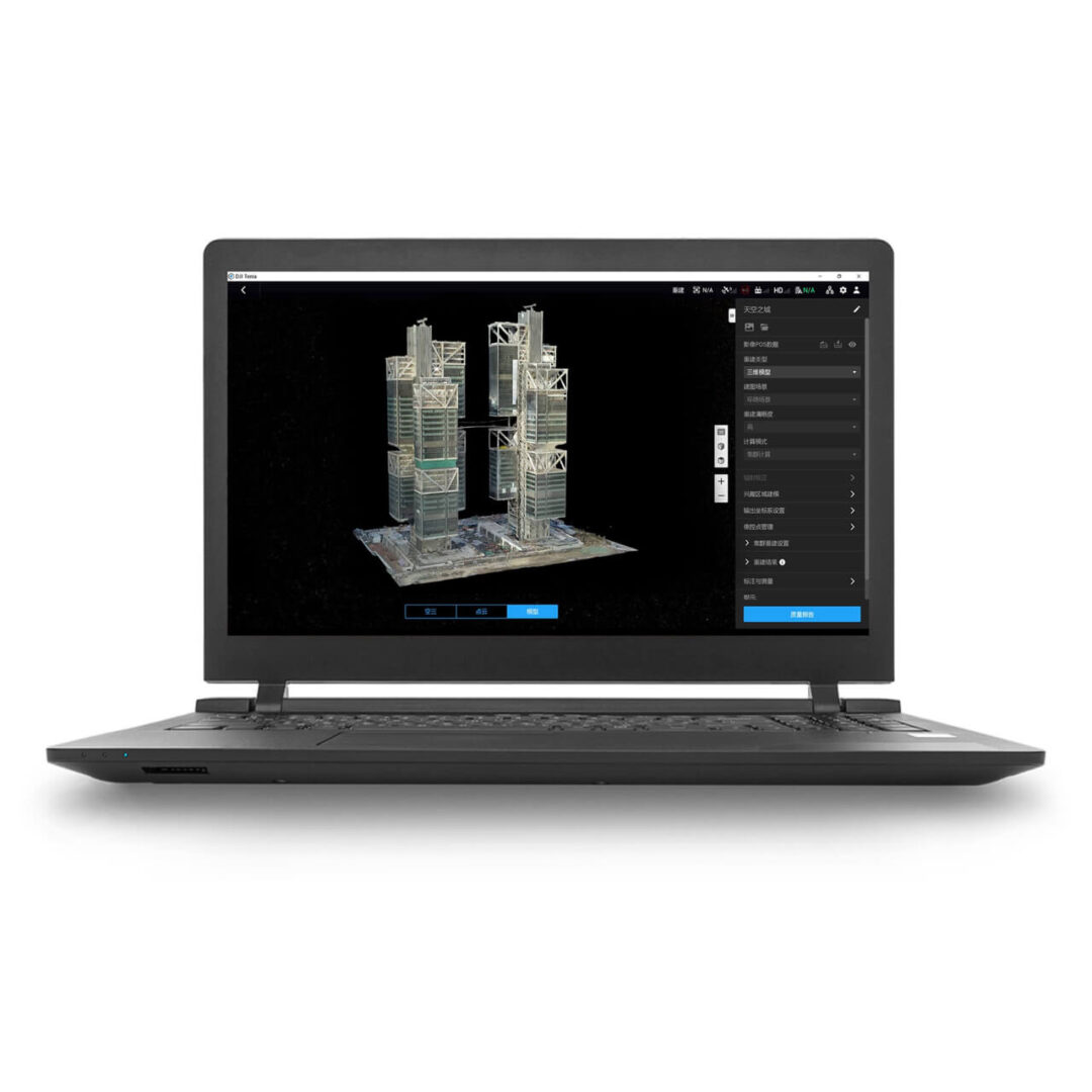 Software