
Related products
-
 Rental
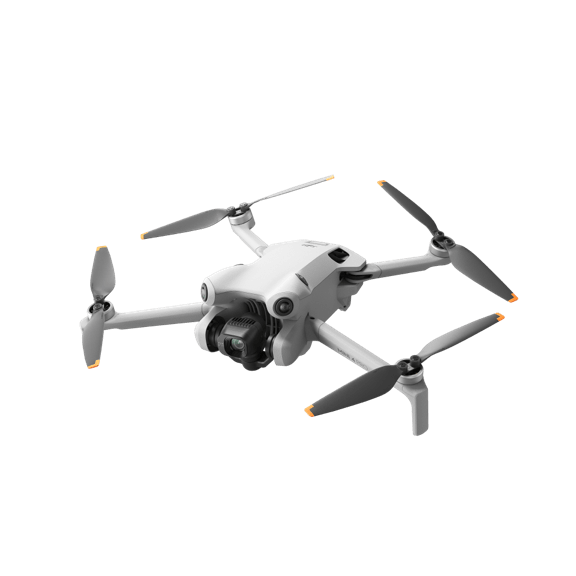
Mini 4 Pro
Price range: $99.00 through $249.00 Select options This product has multiple variants. The options may be chosen on the product page -
 Rental
DJI Matrice 400
Price range: $900.00 through $2,250.00 Select options This product has multiple variants. The options may be chosen on the product page -
Sale!
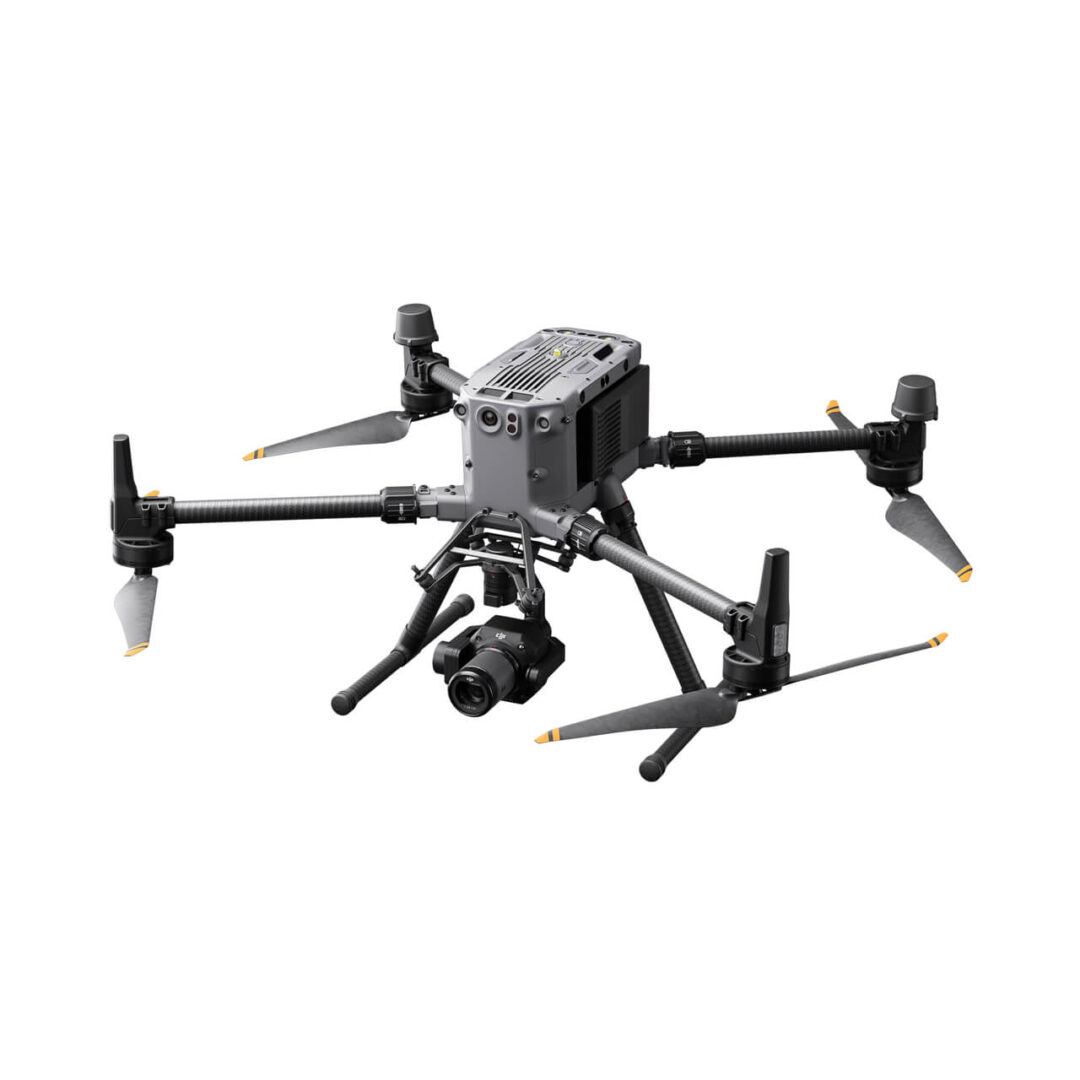 Rental
Matrice 350 RTK Combo – Incl. Zenmuse P1
Price range: $849.00 through $2,125.00 Select options This product has multiple variants. The options may be chosen on the product page -
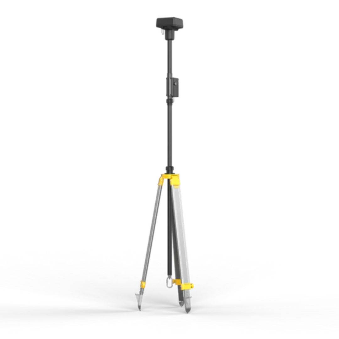 Rental
DJI D-RTK 2 Mobile GNSS Station w/ Tripod
Price range: $99.00 through $229.00 Select options This product has multiple variants. The options may be chosen on the product page